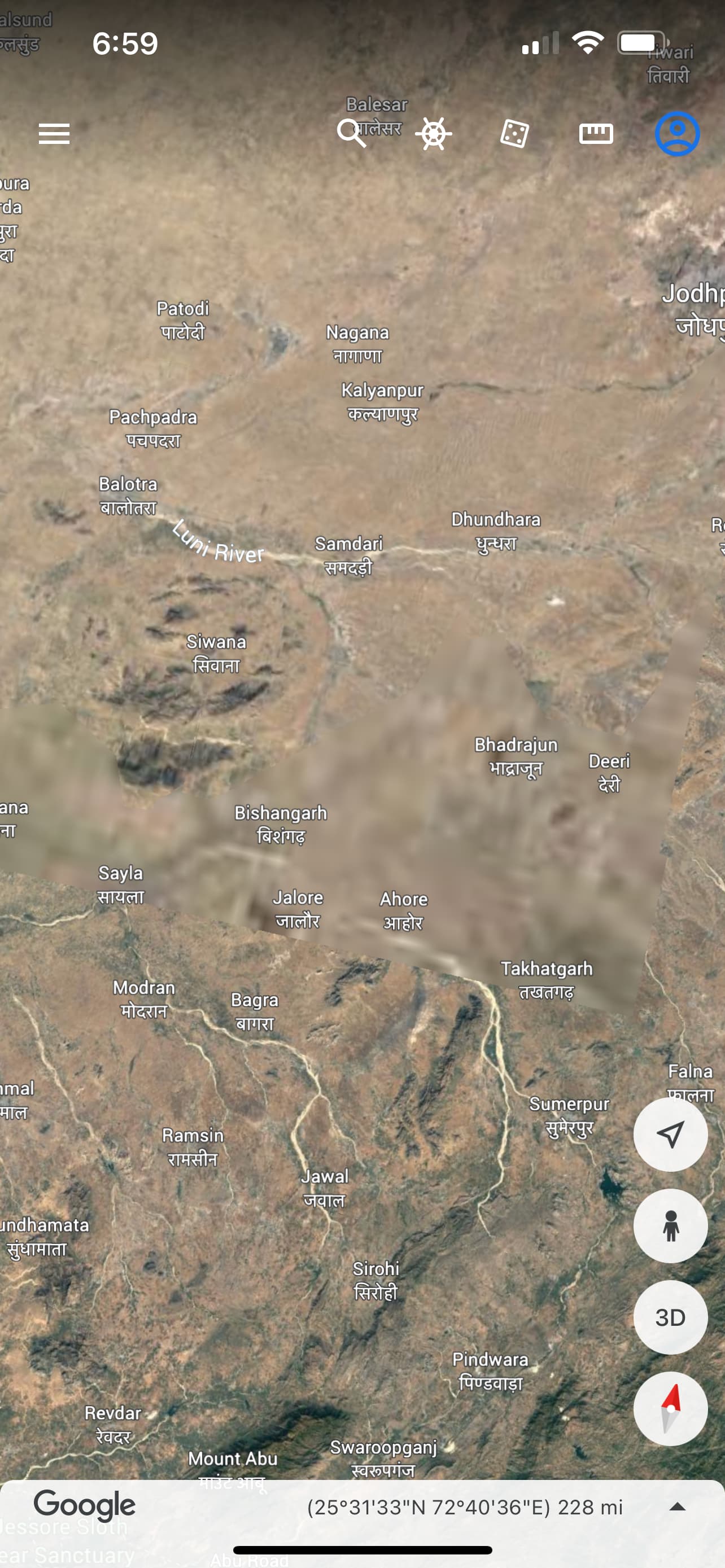
Thank you. It seems, and I’ve tried to refresh it a few times, that Jalore is one of the blurred areas on google earth. Many places are blurred for various reasons, sometimes just never any good line of sight and sometimes because of restrictions. Is it north, south, or east or west parts of Jalore?
The name jalore means water city. Villages near jalore continue to be waterlogged for 2 months after the monsoon. That Concords with 150 days biblical flood.
Maybe I need to delete and bring the app back. I checked it and rechecked it several times. Always blurry. My internet is working fine too. I’ll try it again later.
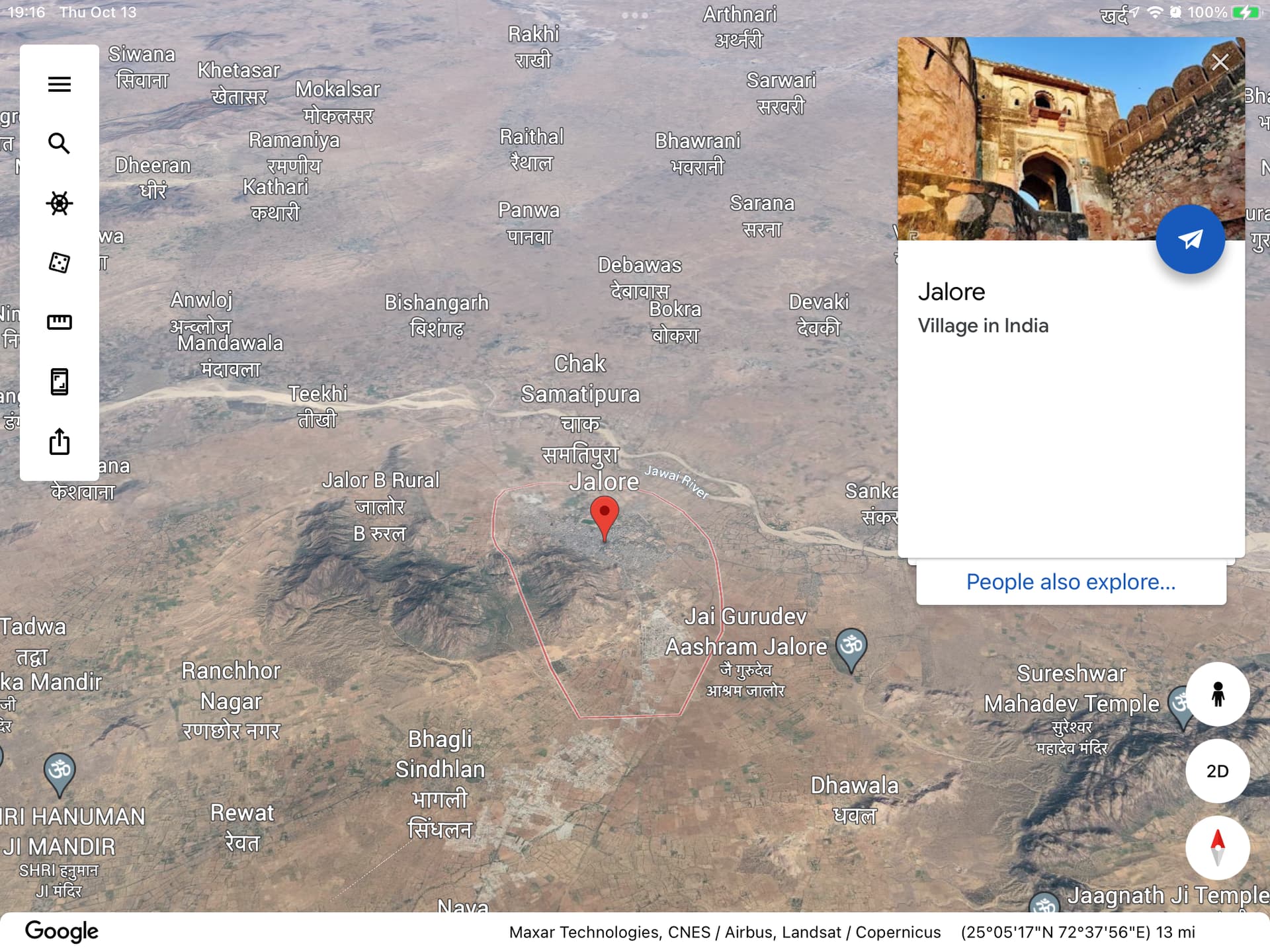
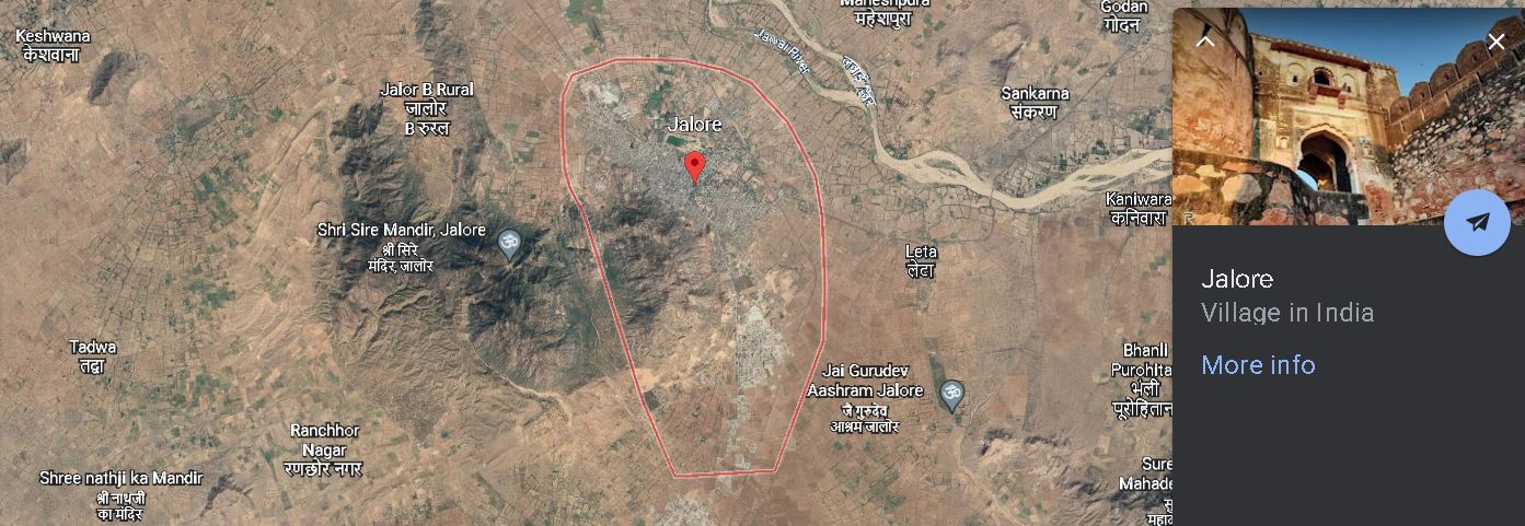
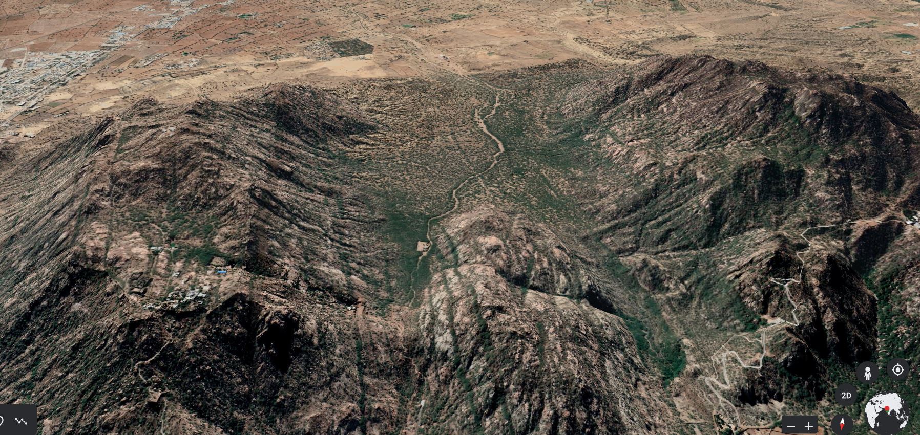
@Dale I’m extremely impressed. How come Dale your google map is so detail? I can actually see bowl-shape that helps me understand how flooding occurs in this bowl-shaped region. @SkovandOfMitaze I see what you’re saying. I get this as well when using a Google map with insufficient information to indicate the bowl-shape.
ERETZ is the same “earth” that sprouts vegetation (Genesis 1:11), receives light from the luminaries (1:15), and the same “earth” over which man and woman are to exercise dominion (1:26,28). So, clearly, it’s not just limited to some “region” of the earth.
Furthermore, ERETZ is the word for “earth” in Genesis 6:13, where God says He will “destroy them (the corrupt people living on earth) with the earth.” So, “earth” here is not referring to the people living upon the earth, but referring to the earth itself. Keep this in mind when reading 2 Peter 3:6, where Peter says that God destroyed the “world” (kosmos) with the Flood. You argue that kosmos is simply referring to the people, not to the earth itself. While it’s true that kosmos can be used simply to refer to the people living upon the earth (e.g., John 3:16), kosmos can also be used to refer to the earth itself–the habitation of people.
And paralleling this passage with Genesis 6:13 also makes it clear that “earth” and “world” are referring to the earth itself. In fact, in 2 Peter 3:5-7, 13, “world” is interchanged with “heavens and earth.”
Does all mountain areas cause flooding to near by villages, or is this way worse? By the look at these mountains and bowl shape, but there’s an area that’s flat
Unless if Jalore it self is in a bowl-shape, but from the map., it appears villages is in flat zone
Ok well that was fun., trying out google earth and yes it is more detail then google map